A property people can walk around before they visit.
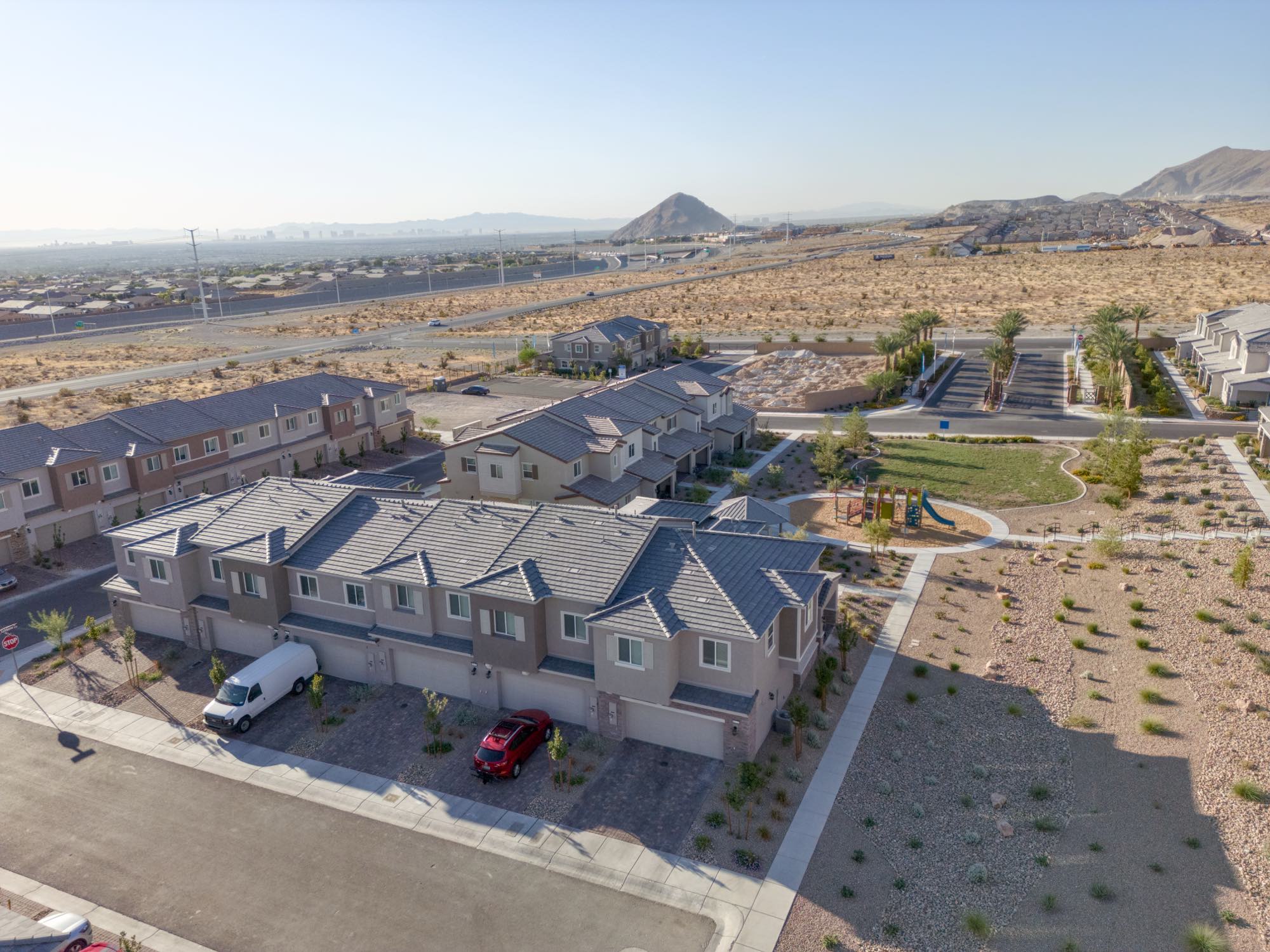
A photograph picks one angle and asks the viewer to trust it. A 3D scene hands them every angle and lets them settle their own question, whether that is how tall it reads from the street, how the buildings sit against each other, or what the approach actually looks like.
We fly the property, rebuild the passes into a navigable scene, and install it on the page you already have. It loads in a browser and runs on a phone. No app, no plugin, no download.
What you get.
- Airspace check
- Your address is checked before scheduling. If it needs an authorization on file, we tell you the lead time up front.
- Aerial capture
- Orbits and elevation passes flown under FAA Part 107, covering the property from every side the scene needs.
- Scene build
- The passes reconstructed into a navigable 3D scene, then cleaned up so the result reads as the property rather than as a point cloud.
- Viewer installed
- Embedded on your existing page, styled to your site rather than dropped in as a foreign box.
- Orbit video
- A rendered orbit of the finished scene, sized for social and for a listing, so the capture works where the scene cannot go.
- A link that travels
- The scene opens from an email or a text on any device, which is where most of these actually get seen.
$1,200
Capture, scene build, cleanup, viewer installed on your existing page, and the rendered orbit video. Larger properties and multi building sites are scoped after a fit call.
All figures are starting points, not quotes. Every project is scoped and priced after a fit call.
Aerial content ages in public.
Landscaping fills in, a building goes up next door, a renovation finishes, and a scene that was accurate becomes quietly wrong. A refresh is a re-flight and a scene rebuild, not a hosting fee.
$900per year
Hosting for the scene plus one scheduled re-capture a year, with seasonal or post renovation re-flights quoted on top. Sits alongside a care plan rather than replacing it.
Who books this.
Golf courses and resorts
Property that sells on grounds and setting, where one photograph never covers it.
Event and wedding venues
Couples and planners deciding from out of state, who cannot walk the space before booking.
Developers and architects
A parcel being marketed, or a finished build that deserves more than an elevation photograph.
Common questions.
Does the visitor need an app?
No. It runs in a browser on a phone, a tablet, or a desktop. If they can open your website, they can open the scene.
Will it work on our existing site?
In almost every case, yes. It embeds on the page you already have, whatever it was built with. If your platform blocks embeds, we will tell you before you book rather than after.
How long does it take?
The flight is one visit. The scene build and install follow, and we give you a date after the airspace check, since some locations need authorization lead time.
Can you capture the inside too?
Yes, as a 360 interior tour on the same visit, which is cheaper than booking it separately later.
Is this a survey?
No. It is a marketing and presentation tool. If you need measured deliverables for planning or documentation, see aerial site documentation, which is also not a boundary or land survey.